Rinse and repeat of last year (2024). I am not going to say this race is my favorite, but it was still a race. It took place in the middle of winter. It was as cold ad last year and maybe even colder this year relatively for our area. I think the wind chill was down in the teens. Weather is always a bummer for this event. Why did I do it? Maybe because there was nothing else to do. I went last year and so kept the tradition alive. The first real race of the year (Red Eye on New Year Day was my first event). This was a few days after of the first weekend of 2025.
Because it is fun. Eventually, yes, it became fun. The race was a great place to catch up with friends. I went there knowing two of my other friends were going to be there. I went there again with Caroline. I saw a few others such as Judith and Tom.
I knew what I was getting into. Last year we had snow in the middle of the even and then it turned into rain and ended pretty bad weather condition that no runners would have wanted to be outside running.
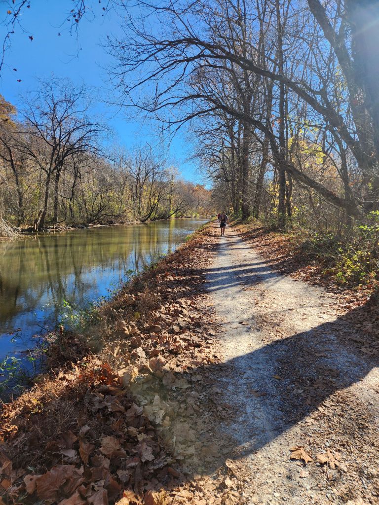
We were a bit fortunate this year that it snowed a couple night before and we had a dry course. The snow/frost was not an issue. The ground was hard and frozen. Not slipery but I was always careful. There were patches of ice here and there.
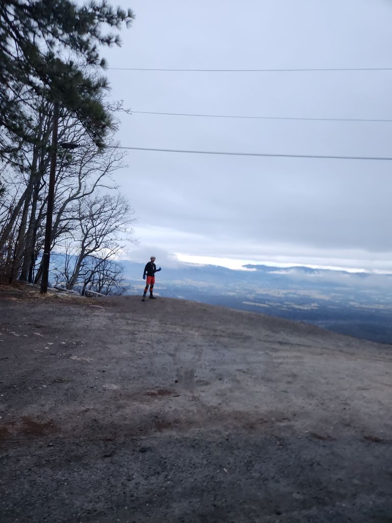
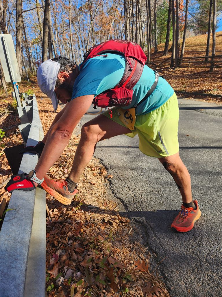
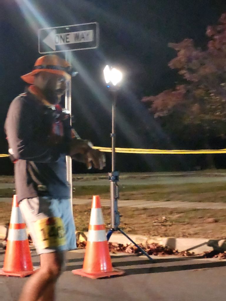
The course was cleared of snow when we started. The trail was runnable. The cold and wind though was harsh. I put on many layers of hats, shirts, jackets, pants, gloves, bluffs and everything. I knew I would be cold out there for close to 8 hours. Being warm during the run was the key to finish the event. I’d rather overdressed than underdressed. I started stripping off my layers eventually and found the right combinations in the middle of the race. It did slow me down and took a lot minutes off the clock putting on and pulling off shirts.
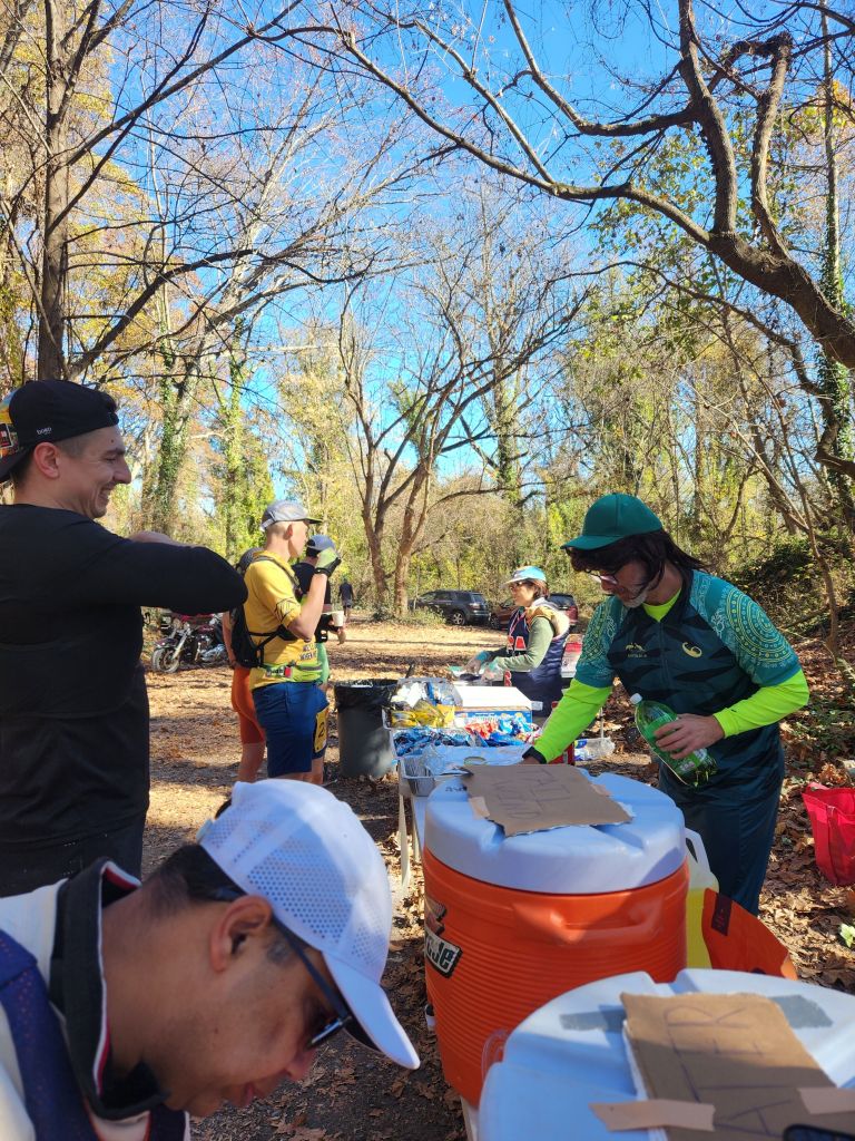
I was smarter this year, though unintentionally, I started the first three loops without my hydration pack. I became thirsty though by the second loop, but the aid station was at most only 5 miles away.
I was not running to get a better finishing time than the previous year. I always like a faster time but it like a pie dream. I was hoping to just finish, having fun, and enjoying the race.
It was six loops of 5 miles. In my mind I thought it was 3 loops of 10 miles before the event. I did not come into this race as prepared as I was for other races. I thought I would lost count on the numbers of loops in the middle of the race, but ended up I could remember which loop I was on. I did the first three loops and then I did another three loops, by counting backward after the third loop of how many loops I had left. Time went by quickly.
Originally, I was hoping my friend Jeremy would keep me company but he ran too fast and I was a bit too slow so I lost track of him. Same with Caroline who outran both of us early on, and I could not run with her. I decided to take my time and slowly reeled them in.
The first loop took me about 1:20 (h:m). I purposely went out slower because I wanted to talk to a few friends. By second loop, I picked up the pace and finished around 1:10 (h:m). A lot faster runners and relay people looped me by now. It didn’t bother me because my speed and theirs were too different. I was just slow. You just had to step aside and let them pass.
I struggled a bit by the third loop and it required some effort to get it in at 1:15. I was secretly wishing I could run a 5 mile under an hour. It was a wishful thinking. I was no longer as fast as what I used to be (I used to be able to do a 10k in about 50 ish minutes). Looking back this is my eighth year since I started running. My first year, was when I was at my peak and every year has been down hill then.
So I just had to accept the fact I am now much slower, but in my mind I was still fast like I was when I first started.
I caught up to my two friends at the end of the my fourth loop, who had started out faster than me. Secretly, I wanted to lap them but I knew in order to do that, I had to pass them by second loop, that plan was dashed when it took me too long to catch up to them. I would have to run twice my current pace to loop them, which was impossible. One of my friend decided it was too cold to continue. So I put him in my car to warm him up. I checked back on him at the next loop.
The rest of loops were uneventful. At least now I don’t remember much but was glad to be out on the trail. I started to notice the trail was getting soggy. The temperature was warming up but the wind was still strong and cold. I really had to put some effort in and still my time and pace was sliding. I was happy to finish the loop and I started the fifth loop and sixth. My friend was still around so, I told him if he is willing to wait, I will finish my loop in about an hour. I could not remember much about my fifth or sixth loop. Loop event kind of do that to you where each loop kind of mesh together with the previous one. I think I started to catch up to some few other runners, who were still left. Many already finished. I ran with some faster people, such as relay people.
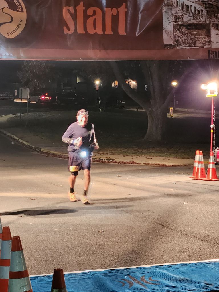
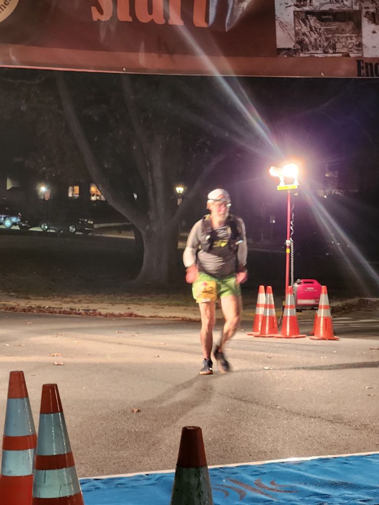
My last loop was all by myself. Almost everyone had finished by now. There were maybe one or two runners walking the course. Some have friends joining them. I knew I had two hours to do my final loop and so I took my time to walk as much as I could. I still run on the downhills.
I am not too fond of loop courses. They have their purpose. Some people love them. It was easier pace myself on a loop. You know exactly how much time it will take after the first loop. Also, the trail becomes more familar the more loops you do. You have the same aid station at the end of each loop. It makes planing a drop bag, also the logistics of getting back to the car easier if you happen to quit. We had our car right at the start, so we went by it each time.
I had a great weekend and it was a good workout. We saw the last runner finished and we left around 5 pm and called it a day. My time was 7:11:56. This year was not as exciting as the last year event (at least that my impression). I reread my last year report, I had fun in the mud. This year’s challenge was the cold and I overcame it.